The advancements of China’s satellite imaging industry present a new risk for military secrecy, as the Iran conflict illustrates.
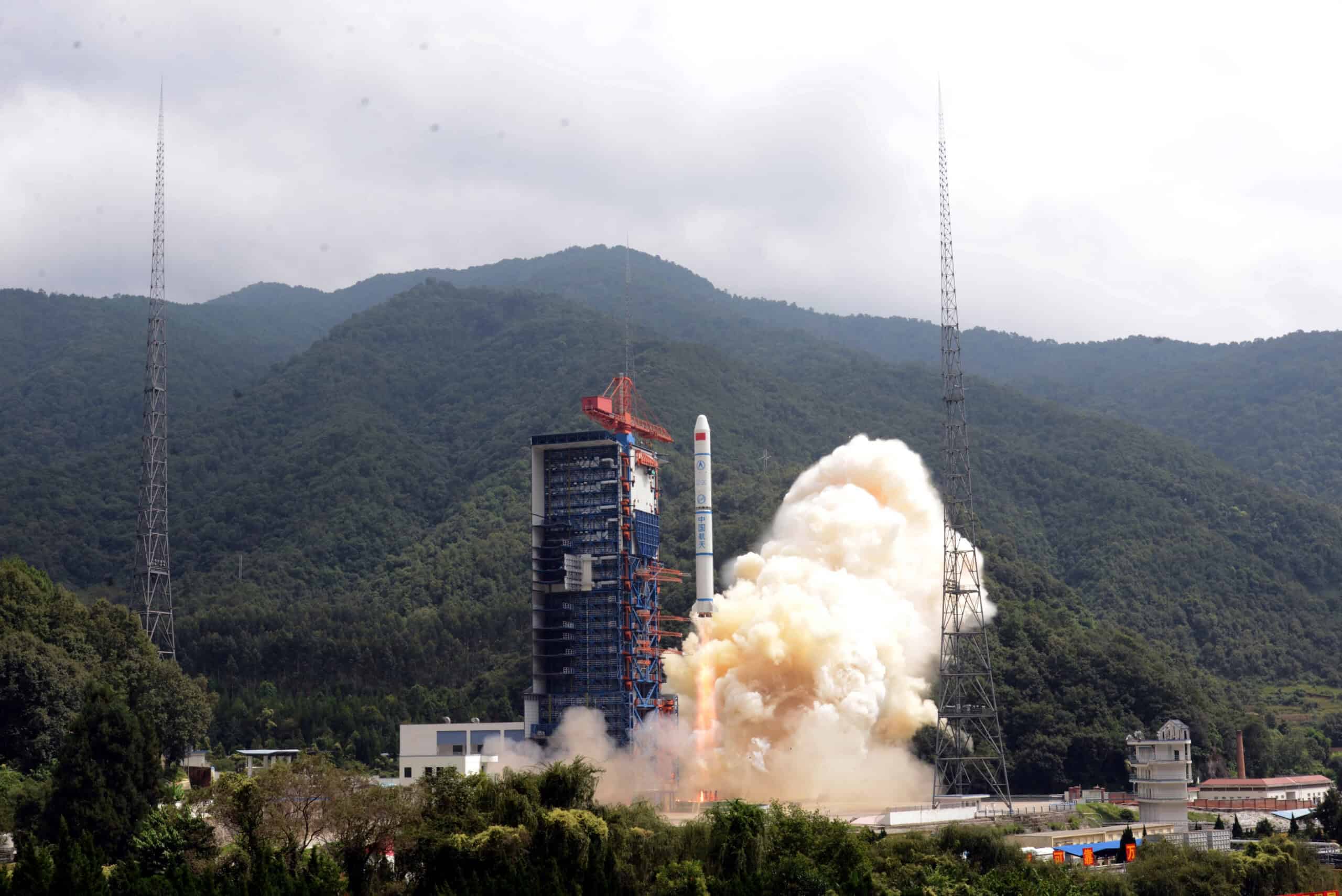
A Long-March 2C carrier rocket loaded with China's three remote sensing satellites, Yaogan-30 01 satellites, lifts off at the Xichang Satellite Launch Center. Credit: IC Photo via Depositphotos
China’s commercial satellite firms are emerging as key players in a global market for high-resolution imagery, with capabilities that rival those of U.S. providers. Images from their satellites have been published widely during the Iran conflict, raising new concerns for military secrecy.
The dissemination of Earth observation (EO) satellite imaging highlights a shift in modern warfare, with satellites able to image the same site up to multiple times a day. That in turn can provide customer
Exclusive longform investigative journalism, Q&As, news and analysis, and data on Chinese business elites and corporations. We publish China scoops you won't find anywhere else.
A weekly curated reading list on China from Andrew Peaple.
A daily roundup of China finance, business and economics headlines.
We offer discounts for groups, institutions and students. Go to our Subscriptions page for details.
We use cookies to ensure that we give you the best experience on our website. If you continue to use this site we will assume that you are happy with it.